


Beyond Alone · Best: Apr – May, Sep – Oct
Zion Backcountry
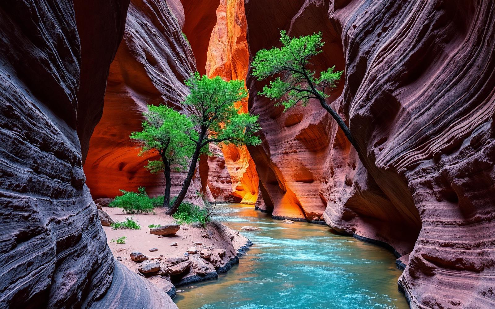
Beyond the shuttle — Narrows, subway, and Kolob wilderness in slot-canyon country.
Utah, USA
Where on earth
Satellite imagery flying in from a world view to Zion Backcountry, Utah, USA.
- Biome
- Colorado Plateau canyon / desert
- Elevation
- 1,100 – 2,660 m
- Best window
- Spring & fall (avoid summer heat and monsoon)
- Key draws
- Narrows top-down, Subway, La Verkin Creek
- Watch for
- Flash floods, exposure, heat
The country
The main canyon is only a slice of the park. Kolob to the northwest opens huge, quieter high plateaus with sandstone spires. The Virgin River carves the Narrows and Subway into wet-canyon routes with real rope-work options.
Why enthusiasts come
Wet-canyon routes are a distinct discipline — cold water, technical anchors, and consequential weather calls. Dry backpacks on West Rim and Kolob give quieter classic backpacking.
Planner-relevant notes
Check NOAA flash-flood potential for the exact drainage — not the general forecast. Neoprene socks and canyoneering shoes for Narrows top-down.
Field notes
- Angel's Landing chains are a permit-only day hike, not backcountry.
- Springs in Kolob are reliable but bring purifiers — cattle graze the plateau above.
- Rockfall from monsoon rains reshapes trails yearly; check the ranger board.
Frequently asked about Zion Backcountry
- Where is Zion Backcountry?
- Zion Backcountry is in Utah, USA. Beyond the shuttle — Narrows, subway, and Kolob wilderness in slot-canyon country.
- What is the climate like at Zion Backcountry?
- Colorado Plateau canyon / desert. The main canyon is only a slice of the park. Kolob to the northwest opens huge, quieter high plateaus with sandstone spires. The Virgin River carves the Narrows and Subway into wet-canyon routes with real rope-work optio