


Beyond Alone · Best: Nov – Mar
Big Bend National Park
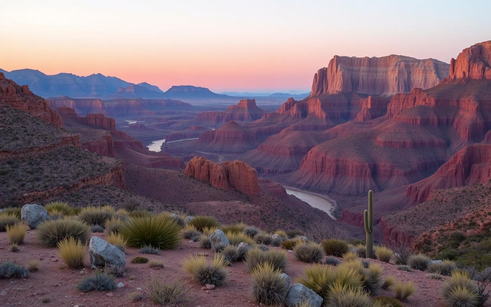
Chihuahuan Desert meets the Chisos Mountains meets the Rio Grande — three parks in one.
Texas, USA
Where on earth
Satellite imagery flying in from a world view to Big Bend National Park, Texas, USA.
- Biome
- Chihuahuan Desert + Chisos sky island
- Elevation
- 550 – 2,388 m
- Best window
- Nov – Mar
- Key draws
- South Rim, Outer Mountain Loop, canyons
- Watch for
- Heat, mountain lion, javelina
The country
Empty even by west-Texas standards. The Chisos Basin sits 5,000 ft above surrounding desert; the Rio Grande cuts three deep canyons on the south boundary. Star quality is among the best in the US.
Why enthusiasts come
The South Rim view is one of the finest in the National Park system. The Outer Mountain Loop couples the Chisos with pure desert basin travel.
Planner-relevant notes
Water caches are legal and essential for the Outer Mountain Loop. Summer heat is genuinely dangerous — dawn starts even in the shoulder seasons.
Field notes
- The Rio can spike overnight from summer monsoon runoff hundreds of miles away.
- Javelinas will destroy a pack for a taco wrapper — hang or box everything.
- Cell coverage is functionally zero; carry a beacon.
Frequently asked about Big Bend National Park
- Where is Big Bend National Park?
- Big Bend National Park is in Texas, USA. Chihuahuan Desert meets the Chisos Mountains meets the Rio Grande — three parks in one.
- What is the climate like at Big Bend National Park?
- Chihuahuan Desert + Chisos sky island. Empty even by west-Texas standards. The Chisos Basin sits 5,000 ft above surrounding desert; the Rio Grande cuts three deep canyons on the south boundary. Star quality is among the best in the US.