


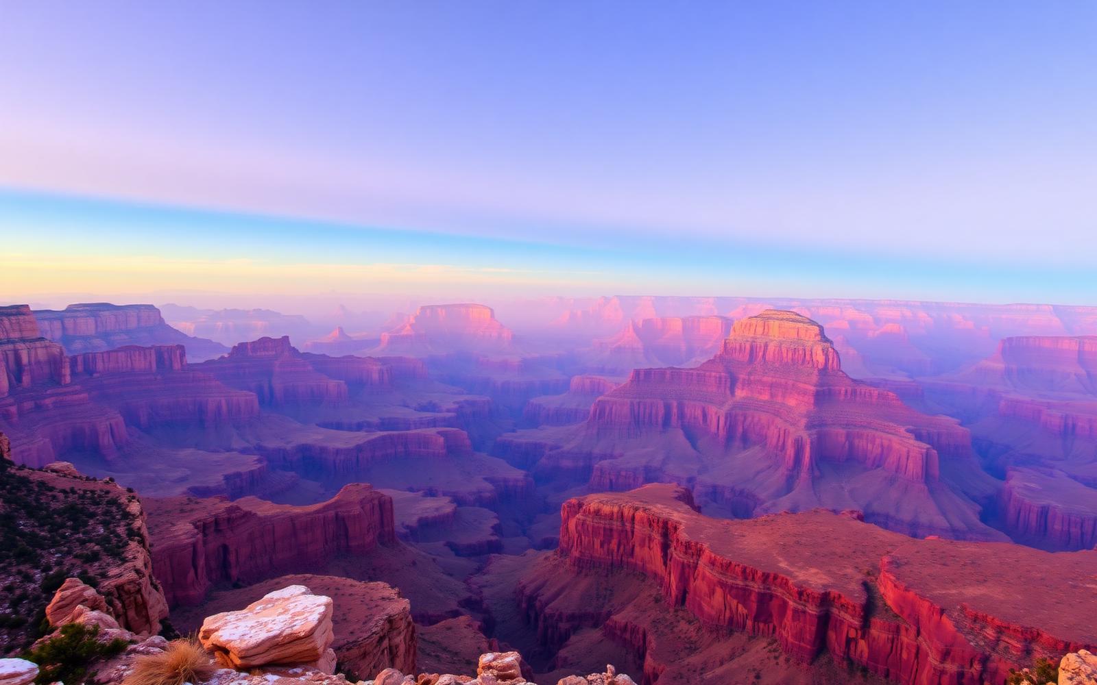
Beyond Alone · Best: Apr – May, Sep – Oct
Grand Canyon Rim-to-Rim
The classic 24-mile crossing that puts the canyon's scale in your legs.
Arizona, USA
Where on earth
Satellite imagery flying in from a world view to Grand Canyon Rim-to-Rim, Arizona, USA.
- Biome
- Colorado Plateau canyon
- Elevation
- 760 – 2,700 m
- Best window
- Spring & fall shoulder
- Key draws
- R2R, Escalante Route, Nankoweap
- Watch for
- Heat exhaustion, ice on rim, mule strings
The country
The canyon is 277 miles long, 18 wide, over a mile deep. R2R is the corridor experience; off-corridor routes like Escalante, Nankoweap, and Thunder River are serious multi-day commitments.
Why enthusiasts come
The rim-to-rim traverse (South → North or reverse) is a bucket-list day or two-day trip. Off-corridor gives real solitude in one of the world's most-visited parks.
Planner-relevant notes
North Rim closes mid-Oct to mid-May. Backcountry permits are competitive — book on release. Hydration and electrolytes matter more than pace.
Field notes
- Don't hike rim-to-river-to-rim in a single day in summer — rangers pull people out regularly.
- The Rim Trail on the South is often icy Nov–Feb — microspikes.
- Colorado River water is drinkable when filtered; below-cliff seeps often are not.
Frequently asked about Grand Canyon Rim-to-Rim
- Where is Grand Canyon Rim-to-Rim?
- Grand Canyon Rim-to-Rim is in Arizona, USA. The classic 24-mile crossing that puts the canyon's scale in your legs.
- What is the climate like at Grand Canyon Rim-to-Rim?
- Colorado Plateau canyon. The canyon is 277 miles long, 18 wide, over a mile deep. R2R is the corridor experience; off-corridor routes like Escalante, Nankoweap, and Thunder River are serious multi-day commitments.