


Beyond Alone · Best: Jul – early Sep
Wind River Range
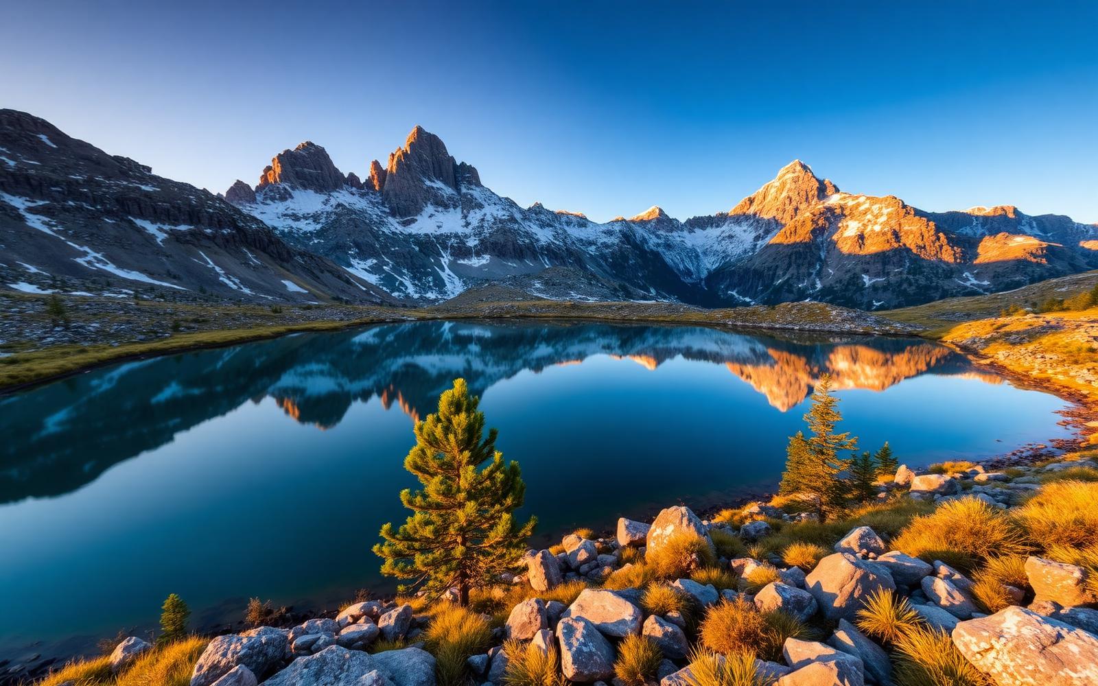
The finest granite alpine range in the Lower 48 — Cirque of the Towers, Titcomb Basin, and 100 miles of glaciated country.
Wyoming, USA
Where on earth
Satellite imagery flying in from a world view to Wind River Range, Wyoming, USA.
- Biome
- High-alpine granite range
- Elevation
- 2,500 – 4,207 m (Gannett)
- Best window
- Jul – early Sep
- Key draws
- Cirque of the Towers, Titcomb, Gannett
- Watch for
- Long approaches, thunderstorms, mosquitoes
The country
The Winds sit south of the Absarokas and hold most of Wyoming's remaining glaciers. Approaches are long — 8 to 20 miles just to reach the alpine — which is why the crowds stay small.
Why enthusiasts come
It's the American Alps that Coloradans go to when Colorado feels tame. Climbing, backpacking, and trail-running objectives stack for weeks.
Planner-relevant notes
Bridger-Teton and Shoshone national forests, no permits, minimal restriction — leave-no-trace matters more here. Mosquitoes into late July.
Field notes
- The 'Big Sandy' side is drier and gets you into the Cirque fastest.
- Elkhart Park is the standard Titcomb trailhead — long but stable.
- Snowfields on Bonney and Knapsack Cols can hold into August.
Frequently asked about Wind River Range
- Where is Wind River Range?
- Wind River Range is in Wyoming, USA. The finest granite alpine range in the Lower 48 — Cirque of the Towers, Titcomb Basin, and 100 miles of glaciated country.
- What is the climate like at Wind River Range?
- High-alpine granite range. The Winds sit south of the Absarokas and hold most of Wyoming's remaining glaciers. Approaches are long — 8 to 20 miles just to reach the alpine — which is why the crowds stay small.