


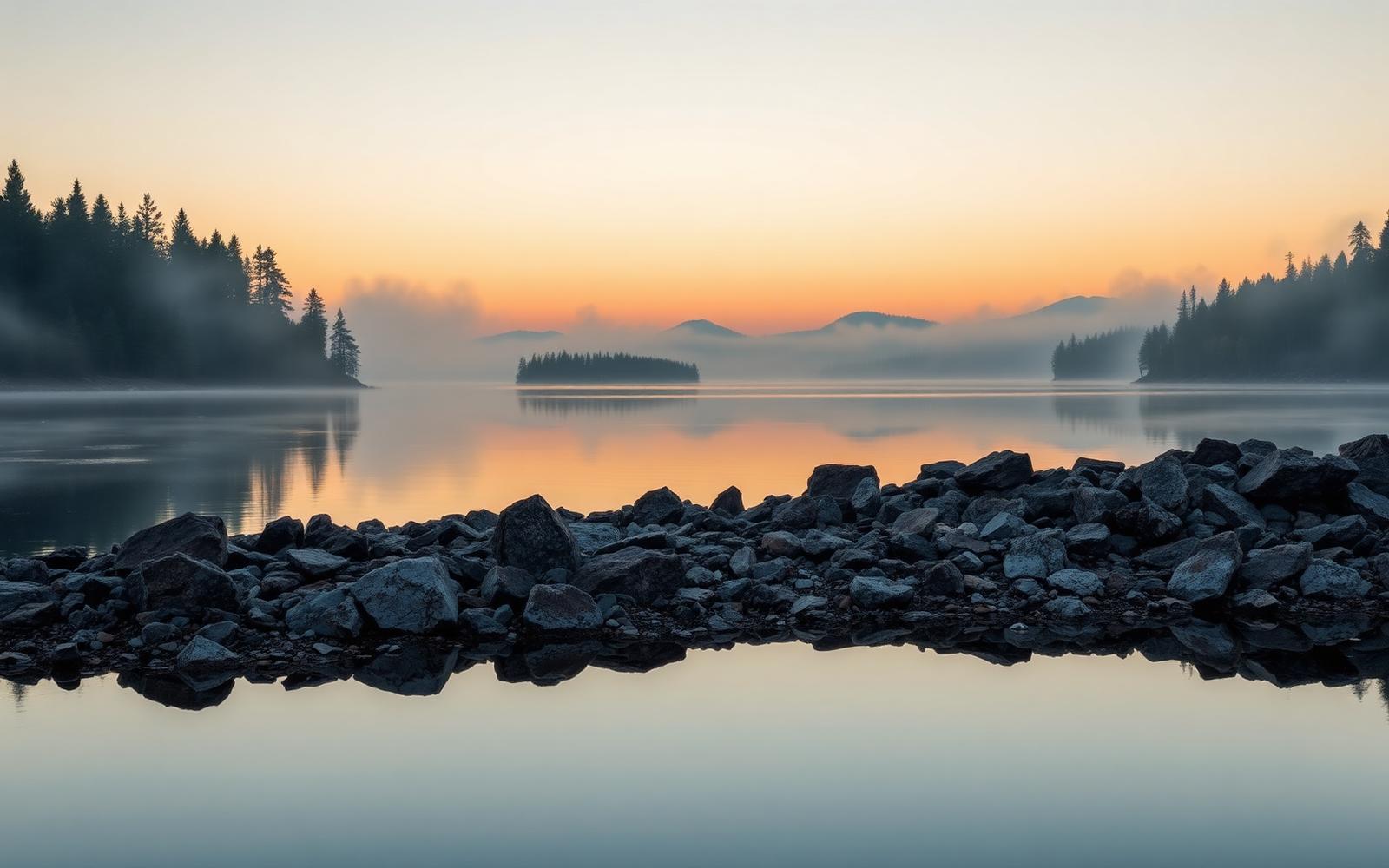
Beyond Alone · Best: mid May – Sep
Boundary Waters Canoe Area
1,175 lakes wired together by portages — the archetypal North American canoe wilderness.
Minnesota, USA
Where on earth
Satellite imagery flying in from a world view to Boundary Waters Canoe Area, Minnesota, USA.
- Biome
- Boreal Canadian Shield lakes
- Elevation
- 260 – 700 m
- Best window
- Mid May – Sep
- Key draws
- Kekekabic route, Frost River loop
- Watch for
- Black bear, weather, portage attrition
The country
A million-acre roadless canoe wilderness against the Ontario border, contiguous with Quetico. Portages are marked and maintained; campsites are designated with fire grates and latrines.
Why enthusiasts come
Reliable, predictable canoe country where you can plan a 10-day route on real maps without any road contact. Fishing is genuinely productive.
Planner-relevant notes
Entry-point permits are quota-controlled May–Sep. Weight matters — every portage is a full unload/reload. Cook fires only in grates; boreal duff burns underground.
Field notes
- Rope-bag food hangs still beat bear canisters here (regs allow both).
- Wind can pin a big lake for a day — build in buffer.
- Leave rocks in place — the ecosystem is genuinely fragile despite the scale.
Frequently asked about Boundary Waters Canoe Area
- Where is Boundary Waters Canoe Area?
- Boundary Waters Canoe Area is in Minnesota, USA. 1,175 lakes wired together by portages — the archetypal North American canoe wilderness.
- What is the climate like at Boundary Waters Canoe Area?
- Boreal Canadian Shield lakes. A million-acre roadless canoe wilderness against the Ontario border, contiguous with Quetico. Portages are marked and maintained; campsites are designated with fire grates and latrines.