


Beyond Alone · Best: Dec – Apr (dry season)
Tepui Highlands (Roraima)
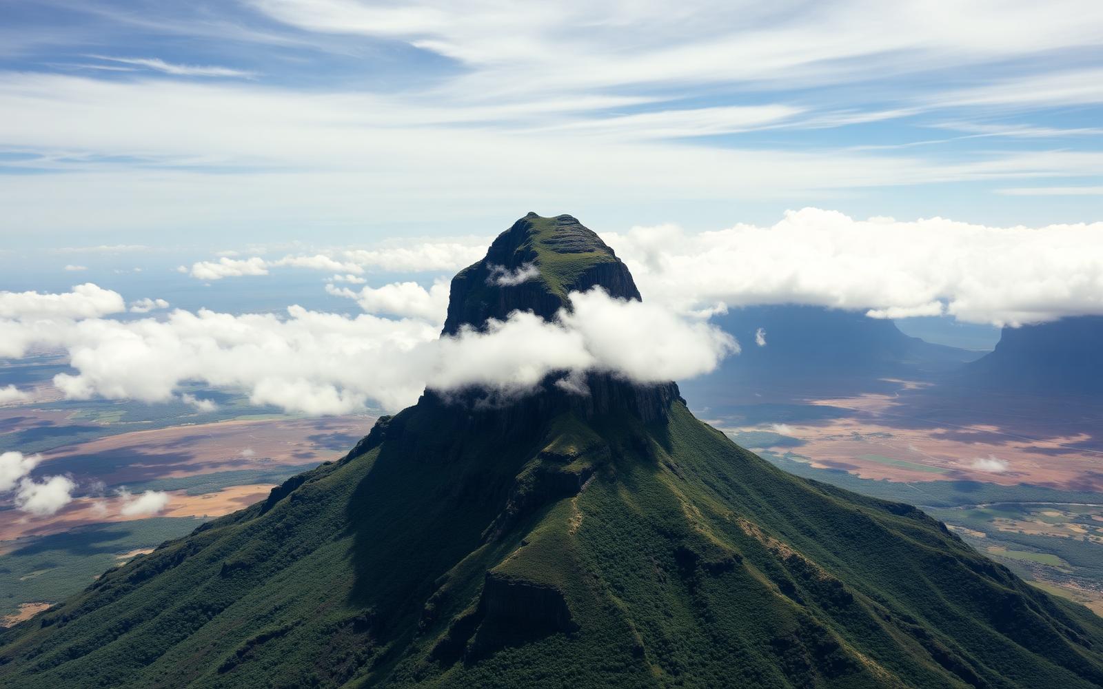
Table-top mountains rising 1 km straight out of the Gran Sabana — the inspiration for The Lost World.
Venezuela / Guyana / Brazil
Where on earth
Satellite imagery flying in from a world view to Tepui Highlands (Roraima), Venezuela / Guyana / Brazil.
- Biome
- Guiana Shield savanna + summit plateau
- Elevation
- 1,000 – 2,810 m
- Best window
- Dec – Apr
- Key draws
- Roraima summit, Kukenán, Angel Falls
- Watch for
- Rain even in dry season, permit access
The country
The tepuis are 2-billion-year-old sandstone tablelands scattered across the Venezuela–Guyana–Brazil border. Each summit is a biological island with endemic species that never leave the top.
Why enthusiasts come
The Roraima trek from Paraitepui is one of the most unique multi-day walks anywhere — 6 days from tropical grassland onto a Precambrian rock world.
Planner-relevant notes
Local Pemon guides are required. Venezuela's political situation affects access — check current advisories. Cook stove fuel is scarce; carry from home.
Field notes
- Summit weather is wet and cold even in the dry season — full rain kit.
- Endemic frogs and plants on the summit are legally protected — camera only.
- Guide selection matters — reputation lasts in the Pemon community.
Frequently asked about Tepui Highlands (Roraima)
- Where is Tepui Highlands (Roraima)?
- Tepui Highlands (Roraima) is in Venezuela / Guyana / Brazil. Table-top mountains rising 1 km straight out of the Gran Sabana — the inspiration for The Lost World.
- What is the climate like at Tepui Highlands (Roraima)?
- Guiana Shield savanna + summit plateau. The tepuis are 2-billion-year-old sandstone tablelands scattered across the Venezuela–Guyana–Brazil border. Each summit is a biological island with endemic species that never leave the top.