


Beyond Alone · Best: May – Sep (dry season)
Cordillera Huayhuash
A compact ring of 6,000-m peaks — the most stunning circuit trek in the Andes.
Peru
Where on earth
Satellite imagery flying in from a world view to Cordillera Huayhuash, Peru.
- Biome
- Peruvian Andean puna + glaciated peaks
- Elevation
- 4,000 – 6,634 m
- Best window
- May – Sep
- Key draws
- Full 130-km circuit, Siula Grande view
- Watch for
- Altitude, community fees at each valley
The country
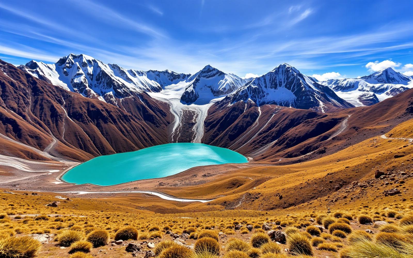
A tightly clustered range south of Huaraz — Yerupajá is Peru's second-highest peak. The circuit walks around the entire massif, crossing eight passes and touching lakes below every face.
Why enthusiasts come
One of the most beautiful trekking circuits on Earth. Manageable on foot in 10 days with donkey support; harder but possible fully self-supported.
Planner-relevant notes
Acclimatize in Huaraz (3,050 m) for at least 3 days before starting. Community entry fees are charged in each valley — carry small Peruvian soles.
Field notes
- Water sources are cold and clear — filter or treat, especially below livestock.
- Weather windows collapse fast in the afternoon — start passes early.
- Local arrieros with donkeys are the standard support model.
Frequently asked about Cordillera Huayhuash
- Where is Cordillera Huayhuash?
- Cordillera Huayhuash is in Peru. A compact ring of 6,000-m peaks — the most stunning circuit trek in the Andes.
- What is the climate like at Cordillera Huayhuash?
- Peruvian Andean puna + glaciated peaks. A tightly clustered range south of Huaraz — Yerupajá is Peru's second-highest peak. The circuit walks around the entire massif, crossing eight passes and touching lakes below every face.