


Beyond Alone · Best: mid Jun – Sep
Quetico Provincial Park
Boundary Waters' quieter Canadian sibling — no motors, no permanent sites, real solitude.
Ontario, Canada
Where on earth
Satellite imagery flying in from a world view to Quetico Provincial Park, Ontario, Canada.
- Biome
- Boreal Canadian Shield lakes
- Elevation
- 350 – 550 m
- Best window
- Mid Jun – Sep
- Key draws
- Pickerel, Sturgeon, Kawnipi routes
- Watch for
- Wind on big lakes, black bear
The country
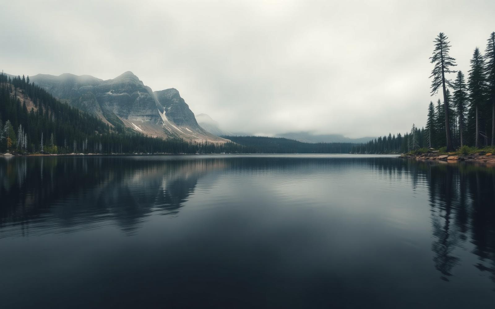
Adjacent to the Boundary Waters across the border, Quetico gets 10% of the visitation. No motors, no fly-in, no designated sites — you plan lake-to-lake by map and choose your own camp on Crown-designated shorelines.
Why enthusiasts come
Deep-solo tripping. You can plan two weeks and see one other party. Fishing pressure is genuinely low.
Planner-relevant notes
Permits are entry-point + quota. Border-crossing paddlers need I-68 or RABC clearance. Cook on stoves — fire bans are common.
Field notes
- Portages here are less trodden than BWCAW — pack lighter, expect route-finding.
- Deadfall clearing is on you — a small saw earns its weight.
- Big-lake wind pins are longer than BWCAW; build weather buffer.
Frequently asked about Quetico Provincial Park
- Where is Quetico Provincial Park?
- Quetico Provincial Park is in Ontario, Canada. Boundary Waters' quieter Canadian sibling — no motors, no permanent sites, real solitude.
- What is the climate like at Quetico Provincial Park?
- Boreal Canadian Shield lakes. Adjacent to the Boundary Waters across the border, Quetico gets 10% of the visitation. No motors, no fly-in, no designated sites — you plan lake-to-lake by map and choose your own camp on Crown-designated shorelines.