


Beyond Alone · Best: Jun – Aug (river) / Jul – Aug (backpack)
Nahanni National Park Reserve
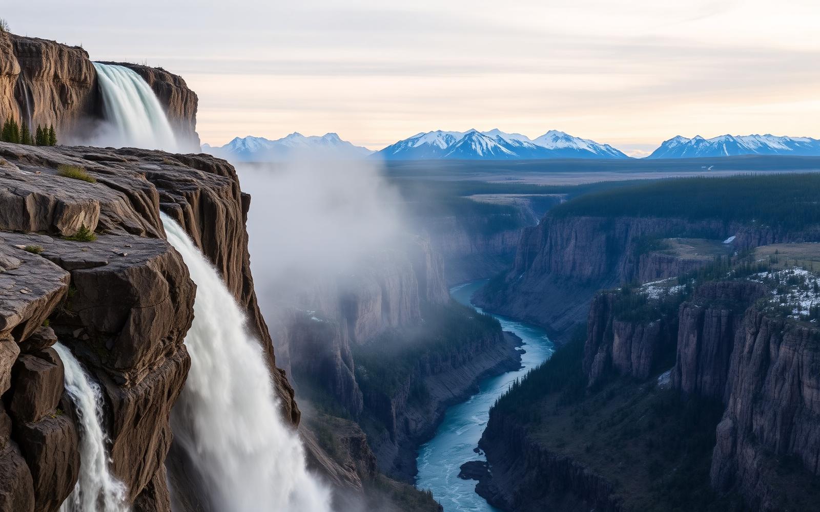
Virginia Falls, hot springs, and a river that carves through the Mackenzie Mountains.
Northwest Territories, Canada
Where on earth
Satellite imagery flying in from a world view to Nahanni National Park Reserve, Northwest Territories, Canada.
- Biome
- Subarctic mountain river canyon
- Elevation
- 180 – 2,500 m
- Best window
- Jun – Aug
- Key draws
- South Nahanni River, Virginia Falls
- Watch for
- Grizzly, whitewater, remote logistics
The country
A UNESCO World Heritage Site. The South Nahanni drops through four sheer-walled canyons and over Virginia Falls (twice the height of Niagara) into subarctic mountain country accessible only by float plane.
Why enthusiasts come
The multi-week Nahanni river trip is one of North America's premier wilderness paddles. Access is by charter float plane out of Fort Simpson.
Planner-relevant notes
Registration and orientation at the visitor centre are required. Whitewater skills for Class III+ are essential in the Painted Canyon. Bear canisters.
Field notes
- The Rabbitkettle tufa mounds are ranger-escort only — plan the day.
- Kraus Hotsprings at RM 25 is a legitimate warm rest stop.
- Weather can ground planes for days — carry a satellite comms device.
Frequently asked about Nahanni National Park Reserve
- Where is Nahanni National Park Reserve?
- Nahanni National Park Reserve is in Northwest Territories, Canada. Virginia Falls, hot springs, and a river that carves through the Mackenzie Mountains.
- What is the climate like at Nahanni National Park Reserve?
- Subarctic mountain river canyon. A UNESCO World Heritage Site. The South Nahanni drops through four sheer-walled canyons and over Virginia Falls (twice the height of Niagara) into subarctic mountain country accessible only by float plane.