


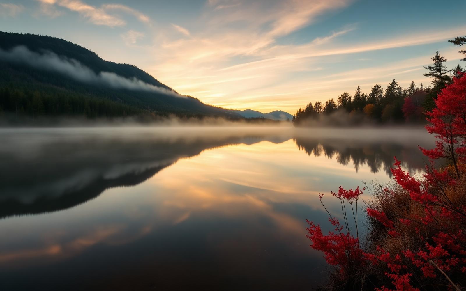
Beyond Alone · Best: mid May – Oct (fall color late Sep)
Algonquin Provincial Park
Ontario's classic canoe wilderness — moose, loons, and 1,500 km of paddling routes.
Ontario, Canada
Where on earth
Satellite imagery flying in from a world view to Algonquin Provincial Park, Ontario, Canada.
- Biome
- Great Lakes-St Lawrence mixed forest
- Elevation
- 300 – 580 m
- Best window
- Mid May – Oct
- Key draws
- Barron Canyon, Petawawa route, interior loops
- Watch for
- Black bear, black flies (Jun), moose
The country
7,653 sq km of mixed hardwood-boreal transition in central Ontario. Over 1,500 km of maintained canoe routes with designated interior campsites, portages, and reserved permits.
Why enthusiasts come
The gold standard for accessible Canadian canoe tripping — from weekend loops to two-week Petawawa expeditions. Fall paddles under maple color are unmatched.
Planner-relevant notes
Reserve interior campsites through Ontario Parks; each night is a specific lake. Bear-safe food storage is legally required.
Field notes
- Bug season lasts through June; head net saves your evenings.
- Portages are marked in meters; long carries (>1500 m) mean serious multi-trip work.
- Moose are common in beaver-pond edges May–June — keep river-bar distance.
Frequently asked about Algonquin Provincial Park
- Where is Algonquin Provincial Park?
- Algonquin Provincial Park is in Ontario, Canada. Ontario's classic canoe wilderness — moose, loons, and 1,500 km of paddling routes.
- What is the climate like at Algonquin Provincial Park?
- Great Lakes-St Lawrence mixed forest. 7,653 sq km of mixed hardwood-boreal transition in central Ontario. Over 1,500 km of maintained canoe routes with designated interior campsites, portages, and reserved permits.