


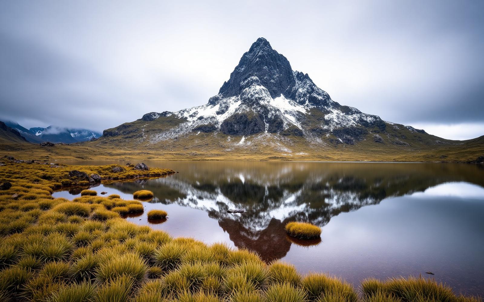
Beyond Alone · Best: Dec – Apr
Overland Track
65 km across Cradle Mountain-Lake St Clair — Tasmania's iconic alpine long walk.
Tasmania, Australia
Where on earth
Satellite imagery flying in from a world view to Overland Track, Tasmania, Australia.
- Biome
- Tasmanian alpine + temperate rainforest
- Elevation
- 700 – 1,617 m (Mt Ossa)
- Best window
- Dec – Apr
- Key draws
- Cradle Mtn, Mt Ossa, Pine Valley side trip
- Watch for
- Weather (snow year-round possible), leeches
The country
A UNESCO Wilderness area running from Cradle Mountain to Lake St Clair. Alpine plateau, King Billy pine, and the classic Tasmanian dolerite terraces.
Why enthusiasts come
Australia's most walked long trail. Booking system limits daily starts October–May, keeping the huts and campsites livable.
Planner-relevant notes
One-direction Nov–April. Booking + fee on release. Ferries at Lake St Clair end save 17 km if desired.
Field notes
- Snow above 1,200 m is possible any month — carry insulation.
- Mt Ossa side trip is worth the extra day when weather holds.
- Pine Valley King Billy pine forest is 1,000+ years old — stay strictly on track.
Frequently asked about Overland Track
- Where is Overland Track?
- Overland Track is in Tasmania, Australia. 65 km across Cradle Mountain-Lake St Clair — Tasmania's iconic alpine long walk.
- What is the climate like at Overland Track?
- Tasmanian alpine + temperate rainforest. A UNESCO Wilderness area running from Cradle Mountain to Lake St Clair. Alpine plateau, King Billy pine, and the classic Tasmanian dolerite terraces.