


Beyond Alone · Best: May – Aug (dry cool season)
Larapinta Trail
223 km along the West MacDonnell Range — Australia's finest desert walk.
Northern Territory, Australia
Where on earth
Satellite imagery flying in from a world view to Larapinta Trail, Northern Territory, Australia.
- Biome
- Central Australian desert / range
- Elevation
- 500 – 1,380 m (Mt Sonder)
- Best window
- May – Aug
- Key draws
- Full 223 km, Ormiston, Mt Sonder sunrise
- Watch for
- Heat, water resupply, remote sections
The country
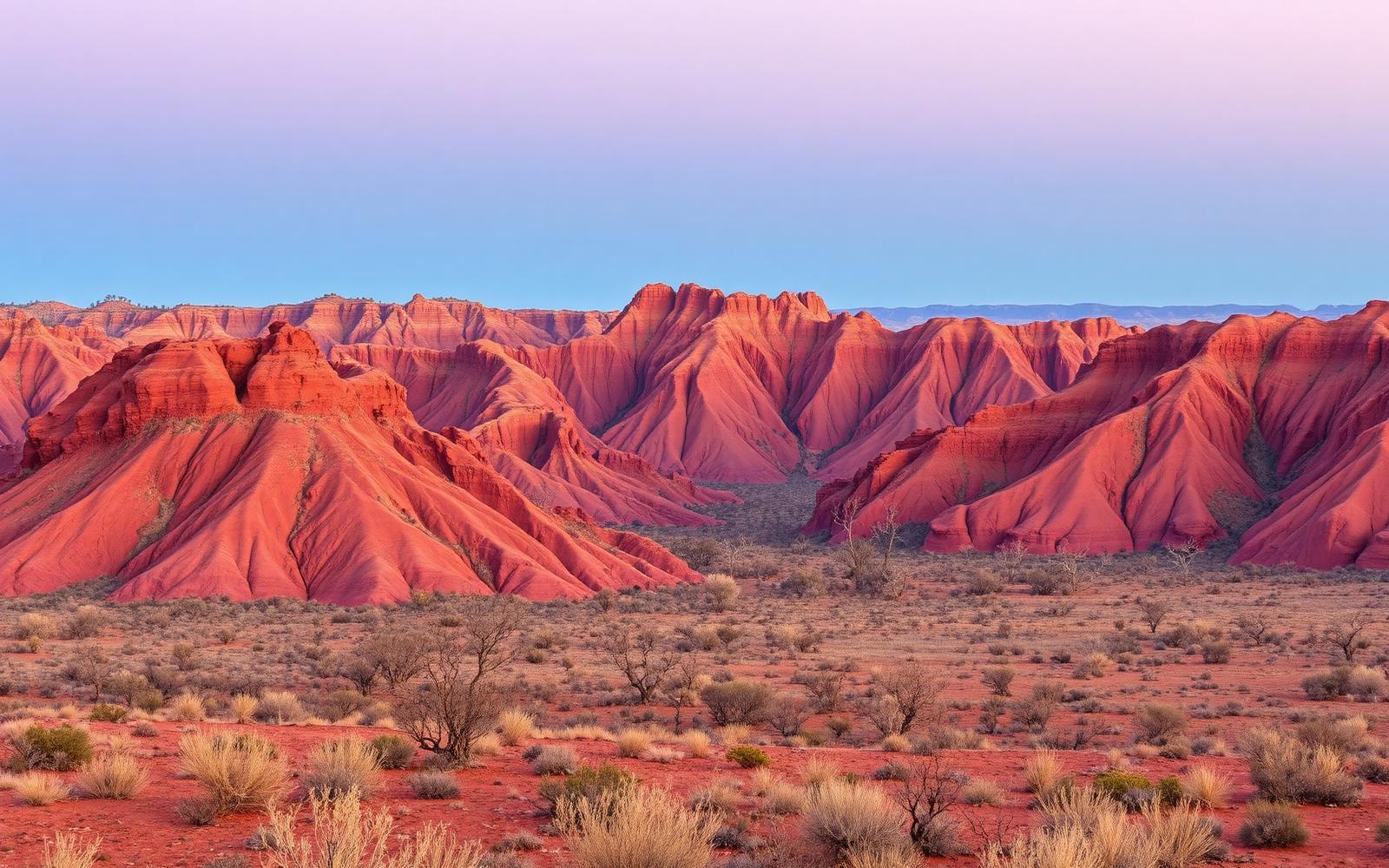
The West MacDonnell Range runs west from Alice Springs — ancient quartzite and dolomite ridges with gorges and semi-permanent waterholes. Arrernte country.
Why enthusiasts come
Desert long-distance in a Southern-Hemisphere winter — cool nights, warm days, and stunning early light. Full traverse is 12–20 days depending on pace.
Planner-relevant notes
Water resupplies at ranger tanks are non-negotiable — plan them exactly. PLB is legally required. Some sections have limited or no cell coverage.
Field notes
- Mt Sonder sunrise is the traditional closer — 4:30 am start from Redbank.
- Waterholes are cultural heritage sites — check protocols for swimming.
- Fires in some sections are prohibited year-round.
Frequently asked about Larapinta Trail
- Where is Larapinta Trail?
- Larapinta Trail is in Northern Territory, Australia. 223 km along the West MacDonnell Range — Australia's finest desert walk.
- What is the climate like at Larapinta Trail?
- Central Australian desert / range. The West MacDonnell Range runs west from Alice Springs — ancient quartzite and dolomite ridges with gorges and semi-permanent waterholes. Arrernte country.