


Alone (US) · Seasons 1, 2 & 4
Northern Vancouver Island
Cold Pacific rainforest — thousand-year cedars, wind-scoured headlands, and salt water that never quite lets you dry out.
British Columbia, Canada
Where on earth
Satellite imagery flying in from a world view to Northern Vancouver Island, British Columbia, Canada.
- Biome
- Coastal temperate rainforest
- Rainfall
- 3,000–6,000 mm / year
- Winter lows
- -5 to 5 °C
- Key food
- Intertidal, salmon, deer
- Big predators
- Black bear, cougar, wolf
The country
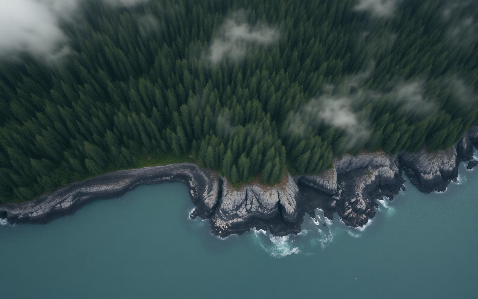
The north end of Vancouver Island is a wet, wind-driven maze of headlands, coves, and rainforest running straight to the water. Old-growth cedar and Sitka spruce hold up a moss-heavy canopy; the ground beneath is a tangle of salal, deadfall, and blow-down. Weather rolls off the Pacific in bands — sun for an hour, then a wall of rain — and everything organic stays wet.
Why the show came here
It's one of the few places in North America where a shore-based camp can feed itself entirely from the beach. Tide pools, mussel beds, and salmon streams stack calories fast, while the forest supplies fuel, shelter material, and freshwater. That density is why Seasons 1, 2, and 4 all filmed here — and why so many participants tapped out from wet cold, not hunger.
Planner-relevant notes
Rain shell and vapor management dominate every clothing decision. Fire lives or dies on split standing-dead cedar and prepared fatwood — surface wood is soaked. Shelter needs true rain-shed geometry (steep pitch, generous drip line), not just cover.
Field notes
- Salt spray corrodes carbon steel fast — oil your knife nightly.
- Bears here are habituated to salmon streams; don't camp on a fish trail.
- Fresh water is everywhere but often tannic; a filter beats a boil for taste.