


Beyond Alone · Best: May – Sep
Faroe Islands
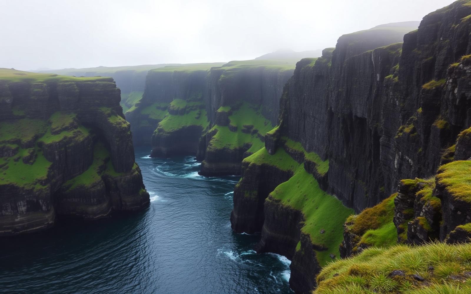
18 basalt islands rising sheer from the North Atlantic — sea cliffs, sheep, and mist.
Faroe Islands, Kingdom of Denmark
Where on earth
Satellite imagery flying in from a world view to Faroe Islands, Faroe Islands, Kingdom of Denmark.
- Biome
- Sub-Arctic oceanic grassland + sea cliff
- Elevation
- 0 – 882 m
- Best window
- May – Sep
- Key draws
- Kalsoy, Slættaratindur, Mykines puffins
- Watch for
- Cliff exposure, rapid fog, wind
The country
A self-governing part of Denmark halfway between Iceland and Scotland. Steep basalt columns, endless sheep pasture, and villages tucked into valley heads. Weather flips within an hour, always.
Why enthusiasts come
Some of the most photogenic sea cliffs on Earth. Ferry-plus-hike day loops open the archipelago; camping is restricted to a handful of official sites.
Planner-relevant notes
Most hiking is on public but privately owned land — pay guides at trailheads when posted. Cliff edges are undercut in places; stay well back.
Field notes
- Mykines puffin colonies are seasonally closed for nesting.
- Fog can drop visibility to 20 m on ridges — carry a compass and phone GPS backup.
- Local ferries are the roads — check schedules the night before.
Frequently asked about Faroe Islands
- Where is Faroe Islands?
- Faroe Islands is in Faroe Islands, Kingdom of Denmark. 18 basalt islands rising sheer from the North Atlantic — sea cliffs, sheep, and mist.
- What is the climate like at Faroe Islands?
- Sub-Arctic oceanic grassland + sea cliff. A self-governing part of Denmark halfway between Iceland and Scotland. Steep basalt columns, endless sheep pasture, and villages tucked into valley heads. Weather flips within an hour, always.