


Beyond Alone · Best: late Jun – early Sep
Icelandic Highlands (Laugavegur)
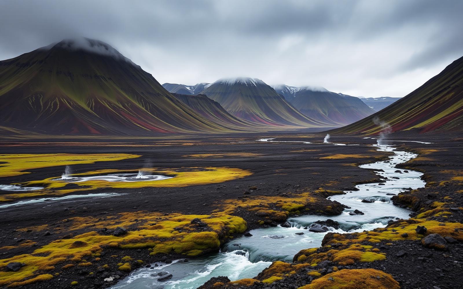
Rhyolite mountains, geothermal streams, and lava fields on the Laugavegur trek.
Iceland
Where on earth
Satellite imagery flying in from a world view to Icelandic Highlands (Laugavegur), Iceland.
- Biome
- Sub-arctic volcanic highlands
- Elevation
- 400 – 1,100 m
- Best window
- Late Jun – early Sep
- Key draws
- Laugavegur (54 km), Fimmvörðuháls extension
- Watch for
- Ford crossings, storm windows
The country
Iceland's central highlands are treeless volcanic desert — rhyolite mountains, active geothermal areas, black-sand plains, and glaciers on the horizon. The Laugavegur strings 54 km from Landmannalaugar to Þórsmörk through the heart of it.
Why enthusiasts come
The single-best 4-day trek in the North Atlantic. Highland huts run by Ferðafélag Íslands support the route; camping is allowed at hut sites only.
Planner-relevant notes
Bring dedicated ford footwear — bridges are minimal. Weather windows shut for 24-hour stretches; huts fill on release day months out.
Field notes
- Fords are safest at morning low flow; wait out afternoon melt.
- Storms roll in from the south coast in under an hour — watch the sky.
- The Fimmvörðuháls extension over the volcano adds a punishing but iconic day.
Frequently asked about Icelandic Highlands (Laugavegur)
- Where is Icelandic Highlands (Laugavegur)?
- Icelandic Highlands (Laugavegur) is in Iceland. Rhyolite mountains, geothermal streams, and lava fields on the Laugavegur trek.
- What is the climate like at Icelandic Highlands (Laugavegur)?
- Sub-arctic volcanic highlands. Iceland's central highlands are treeless volcanic desert — rhyolite mountains, active geothermal areas, black-sand plains, and glaciers on the horizon. The Laugavegur strings 54 km from Landmannalaugar to Þórsmörk throug