


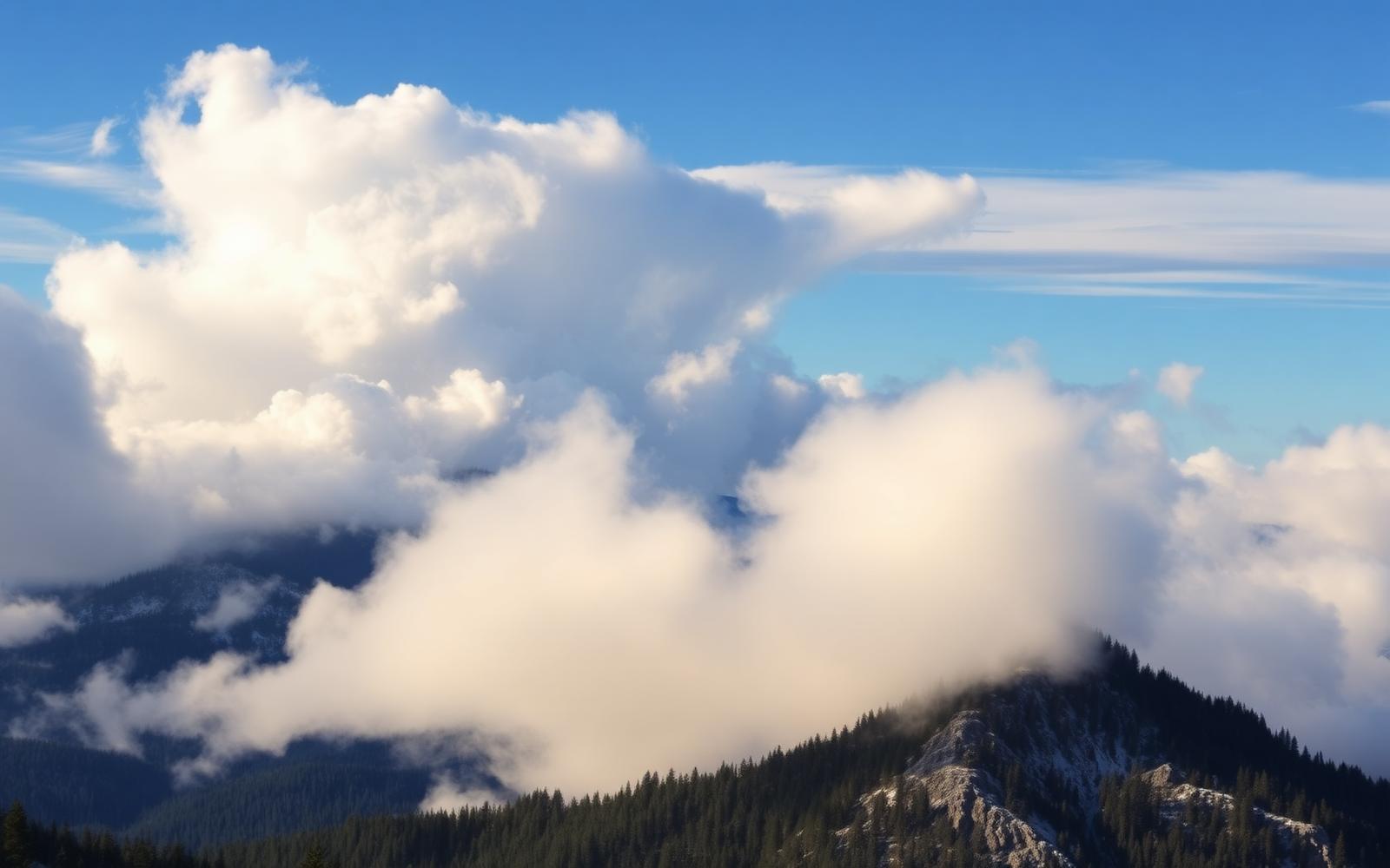
Beyond Alone · Best: Jun – Oct (winter conditions are extreme)
White Mountains Presidential Range
The worst weather in America happens on Mount Washington — and the traverse is one of the finest in the East.
New Hampshire, USA
Where on earth
Satellite imagery flying in from a world view to White Mountains Presidential Range, New Hampshire, USA.
- Biome
- Northeastern alpine
- Elevation
- 300 – 1,917 m (Washington)
- Best window
- Jun – Oct
- Key draws
- Presidential Traverse, Huntington Ravine
- Watch for
- Wind (231 mph record), rapid whiteout
The country
A compact but genuinely arctic-alpine ridge — the tree line drops to 4,500 ft here because of storm exposure. Mt Washington's summit weather is the meeting point of three major storm tracks.
Why enthusiasts come
The Presidential Traverse (20 miles, 9,000 ft gain) is a rite-of-passage day. AMC huts let you split it into a supported multi-day trip.
Planner-relevant notes
Above-tree-line weather can turn instantly. Bailout ravines are steep and route-specific — study them before going up. Full winter kit even for June nights above 5,000 ft.
Field notes
- Winter Huntington Ravine is a legitimate ice-mountaineering objective, not a hike.
- Cog railway summit exhaust changes the alpine flora locally — don't camp near tracks.
- AMC huts reserve months out; walk-in space is rare in summer.
Frequently asked about White Mountains Presidential Range
- Where is White Mountains Presidential Range?
- White Mountains Presidential Range is in New Hampshire, USA. The worst weather in America happens on Mount Washington — and the traverse is one of the finest in the East.
- What is the climate like at White Mountains Presidential Range?
- Northeastern alpine. A compact but genuinely arctic-alpine ridge — the tree line drops to 4,500 ft here because of storm exposure. Mt Washington's summit weather is the meeting point of three major storm tracks.