


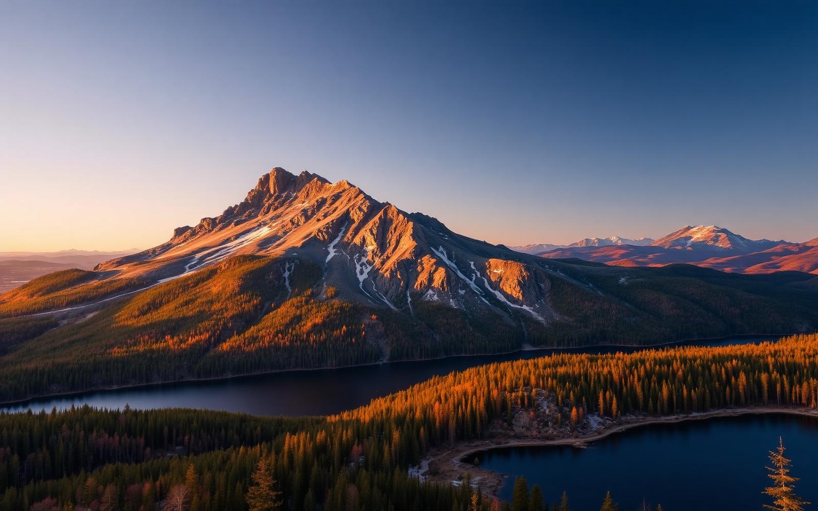
Beyond Alone · Best: Jul – early Oct
Baxter State Park & Katahdin
The northern terminus of the Appalachian Trail — and one of the wildest state parks in the country.
Maine, USA
Where on earth
Satellite imagery flying in from a world view to Baxter State Park & Katahdin, Maine, USA.
- Biome
- Northern Appalachian boreal + alpine
- Elevation
- 180 – 1,606 m (Katahdin)
- Best window
- Jul – early Oct
- Key draws
- Katahdin, Traveler Loop, Russell Pond
- Watch for
- Weather, black bear, quota gates
The country
209,644 acres deeded by Governor Percival Baxter with the mandate that it 'forever be kept in its natural wild state.' The peak of Katahdin dominates it; the surrounding country holds the finest boreal ponds in Maine.
Why enthusiasts come
Katahdin's Knife Edge and the Baxter Peak summit. Multi-day trips out of Russell or Chimney Ponds. The Traveler Loop is a quieter, hard alternative.
Planner-relevant notes
Day-use gates open at 6 am with strict quotas — arrive at 4:30 for Katahdin. Reservations for backcountry sites open 4 months out.
Field notes
- No cell coverage anywhere in the park — check in with rangers.
- Weather can shut Katahdin trails without warning; posted 'Class' updates matter.
- Loons on the ponds are protected — no motorboats, no swimming near nests.
Frequently asked about Baxter State Park & Katahdin
- Where is Baxter State Park & Katahdin?
- Baxter State Park & Katahdin is in Maine, USA. The northern terminus of the Appalachian Trail — and one of the wildest state parks in the country.
- What is the climate like at Baxter State Park & Katahdin?
- Northern Appalachian boreal + alpine. 209,644 acres deeded by Governor Percival Baxter with the mandate that it 'forever be kept in its natural wild state.' The peak of Katahdin dominates it; the surrounding country holds the finest boreal ponds in Maine.