


Beyond Alone · Best: Jun – Sep
GR20, Corsica
Europe's toughest waymarked trek — 180 km across Corsica's mountain spine.
France
Where on earth
Satellite imagery flying in from a world view to GR20, Corsica, France.
- Biome
- Mediterranean high mountain
- Elevation
- 700 – 2,600 m
- Best window
- Jun – Sep
- Key draws
- Cirque de la Solitude, Monte Cinto, north-to-south classic
- Watch for
- Scrambling exposure, sun, water scarcity
The country
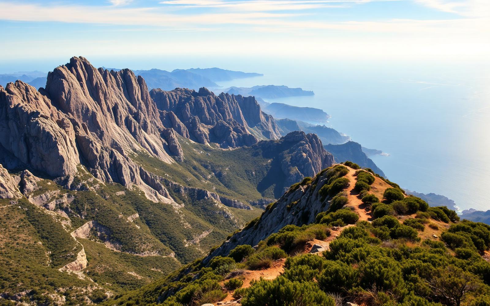
Corsica's central granite spine — sharp ridges, deep granite valleys, and Mediterranean scrub. Trail runs north (Calenzana) to south (Conca) in 15 stages that rarely drop below 1,200 m.
Why enthusiasts come
Reputation as Europe's hardest long trail. Genuine scrambling on Class-2/3 rock, big daily elevation, and huts spaced for a serious walker.
Planner-relevant notes
Refuges reserve on release day — May 15 opens most. Water at refuges only in dry summers. Trainer-style shoes fail; approach shoes or light boots are the working choice.
Field notes
- Bring cash — refuges are cash-only in most stages.
- The Cirque de la Solitude bypass is now the standard after 2015 rockfall.
- Late-August thunderstorms can shut ridge stages for 24 hours.
Frequently asked about GR20, Corsica
- Where is GR20, Corsica?
- GR20, Corsica is in France. Europe's toughest waymarked trek — 180 km across Corsica's mountain spine.
- What is the climate like at GR20, Corsica?
- Mediterranean high mountain. Corsica's central granite spine — sharp ridges, deep granite valleys, and Mediterranean scrub. Trail runs north (Calenzana) to south (Conca) in 15 stages that rarely drop below 1,200 m.