


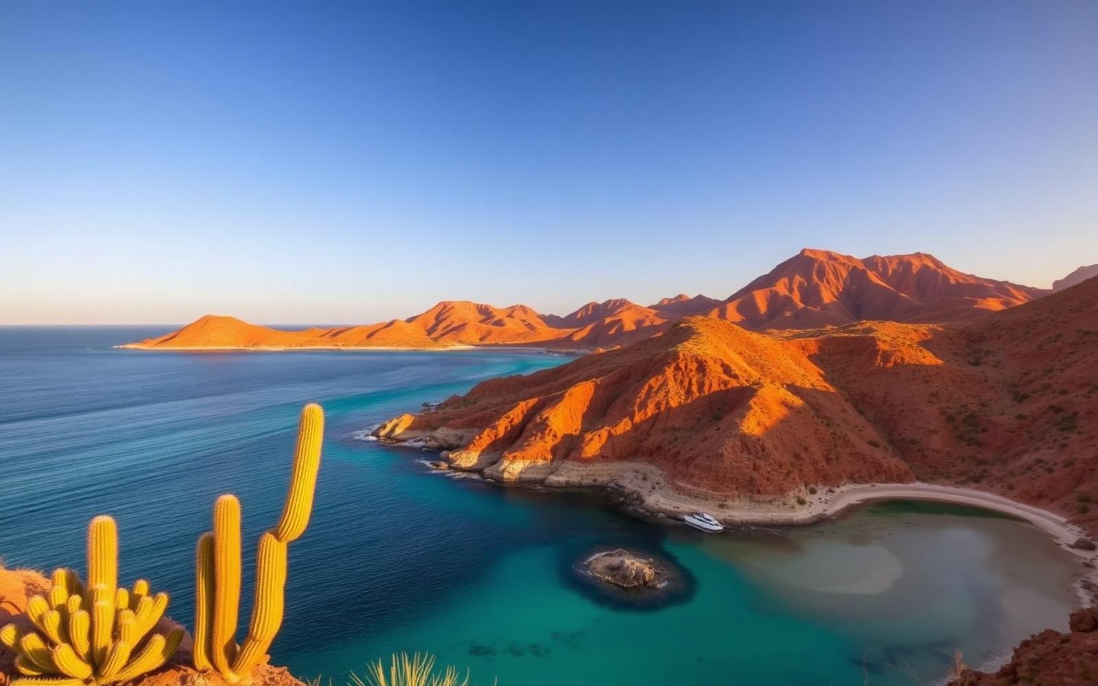
Beyond Alone · Best: Nov – Apr (whale season Jan–Mar)
Baja California Sur
Desert peninsula between two seas — sea kayaking, whale sharks, and empty Pacific beaches.
Mexico
Where on earth
Satellite imagery flying in from a world view to Baja California Sur, Mexico.
- Biome
- Sonoran desert + Sea of Cortez
- Elevation
- 0 – 2,100 m
- Best window
- Nov – Apr
- Key draws
- Espíritu Santo kayak, whale sharks, Sierra de la Laguna
- Watch for
- Sun, wind on Sea of Cortez crossings
The country
A 1,600 km desert peninsula with the Pacific on one side and the Sea of Cortez on the other. Sonoran cardón cactus above, whale-shark and gray-whale nursery below.
Why enthusiasts come
Sea kayak the islands off La Paz. Snorkel with whale sharks Oct–Apr. Gray whale nurseries at Bahía Magdalena Jan–Mar are a global bucket-list wildlife experience.
Planner-relevant notes
Kayak permits for national park islands via CONANP. Water on desert traverses must be cached — no springs in most drainages.
Field notes
- Afternoon 'Coromuel' winds on the Sea of Cortez pick up fast — cross at dawn.
- Whale-shark tours are regulated — go with certified operators.
- Bring reef-safe sunscreen; enforcement in marine protected areas is real.
Frequently asked about Baja California Sur
- Where is Baja California Sur?
- Baja California Sur is in Mexico. Desert peninsula between two seas — sea kayaking, whale sharks, and empty Pacific beaches.
- What is the climate like at Baja California Sur?
- Sonoran desert + Sea of Cortez. A 1,600 km desert peninsula with the Pacific on one side and the Sea of Cortez on the other. Sonoran cardón cactus above, whale-shark and gray-whale nursery below.