


Alone (US) · Season 11
Mackenzie River Delta
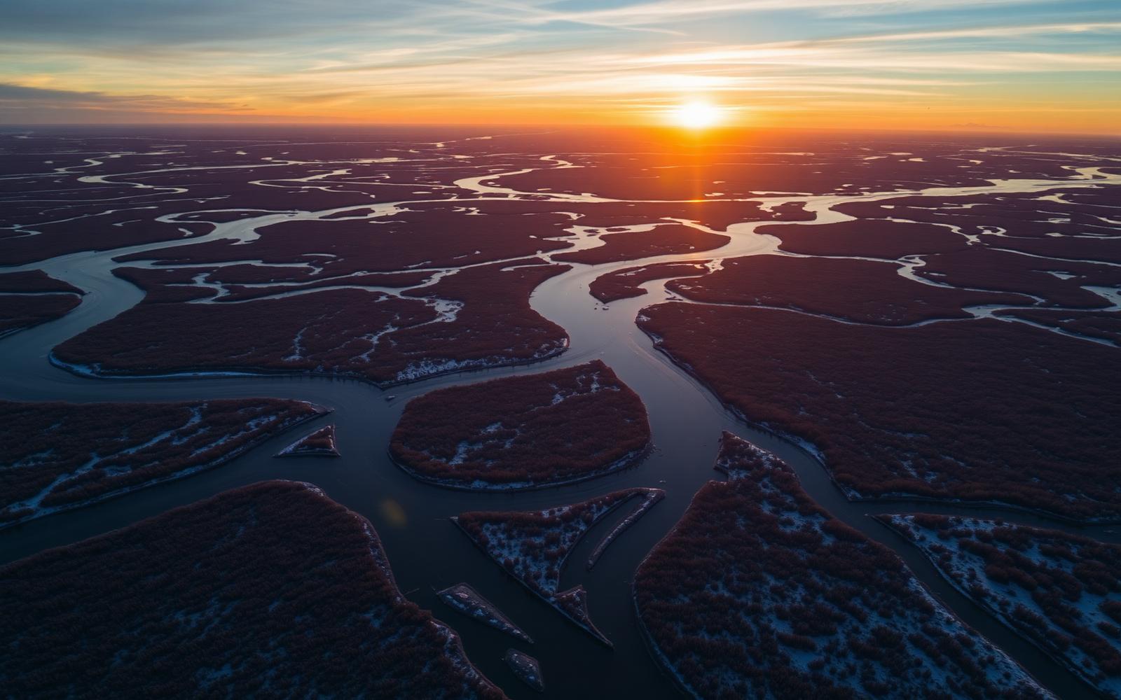
Sub-arctic river maze — endless channels, willow flats, and the midnight sun giving way to serious cold.
Northwest Territories, Canada
Where on earth
Satellite imagery flying in from a world view to Mackenzie River Delta, Northwest Territories, Canada.
- Biome
- Sub-arctic river delta / boreal edge
- Latitude
- ~68° N
- Winter lows
- -35 to -45 °C
- Key food
- Whitefish, pike, moose, waterfowl
- Big predators
- Grizzly, black bear, wolf
The country
The Mackenzie Delta is the second-largest river delta in North America — thousands of channels, oxbows, and willow-covered islands running toward the Beaufort Sea. Trees shrink fast as you push north: from workable spruce to little more than willow and dwarf birch.
Why the show came here
It pushed the format into true sub-arctic country: shorter growing season, smaller timber, more travel-by-water constraints, and a hard freeze-up. Food is available (whitefish, pike, waterfowl in fall) but timing dominates every decision.
Planner-relevant notes
Small timber makes standard bushcraft shelters much harder. A raised platform + tarp-and-debris approach beats a large-log lean-to. Set-nets under ice are the highest-EROI food option once freeze-up locks the channels.
Field notes
- Willow burns fast but hot — use spruce roots and bark for a long fire.
- Grizzlies patrol the willow lines in fall — never camp inside a bear trail.
- Freeze-up here is fast; a channel you paddled Tuesday can be walkable Friday.