


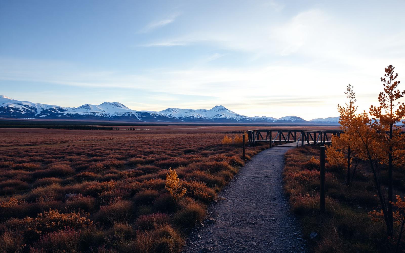
Beyond Alone · Best: mid Jul – early Sep (winter ski Mar–Apr)
Kungsleden (The King's Trail)
440 km through Swedish Lapland — the classic Scandinavian long trail.
Swedish Lapland, Sweden
Where on earth
Satellite imagery flying in from a world view to Kungsleden (The King's Trail), Swedish Lapland, Sweden.
- Biome
- Scandinavian arctic-alpine + birch belt
- Elevation
- 300 – 1,150 m
- Best window
- Mid Jul – early Sep
- Key draws
- Abisko → Kebnekaise, Sarek option
- Watch for
- River crossings on boat sections
The country
Trail from Abisko in the north to Hemavan 440 km south, staffed cabins spaced roughly a day's walk apart. Bridges over major rivers, boat crossings at three lakes — this is real infrastructure by fell standards.
Why enthusiasts come
A supported long trail through Arctic tundra with reliable food and shelter. The northern 100 km (Abisko-Kebnekaise) is the classic 1-week trip.
Planner-relevant notes
STF cabin fees are cash-preferred; membership helps. Weather-drop days are common — build one buffer day per 5 walking days.
Field notes
- Boat crossings at Teusajaure need proactive rowing — plan a group.
- Northern lights are visible from mid-August as darkness returns.
- The trail is snow-passable mid-March through April as a ski route.
Frequently asked about Kungsleden (The King's Trail)
- Where is Kungsleden (The King's Trail)?
- Kungsleden (The King's Trail) is in Swedish Lapland, Sweden. 440 km through Swedish Lapland — the classic Scandinavian long trail.
- What is the climate like at Kungsleden (The King's Trail)?
- Scandinavian arctic-alpine + birch belt. Trail from Abisko in the north to Hemavan 440 km south, staffed cabins spaced roughly a day's walk apart. Bridges over major rivers, boat crossings at three lakes — this is real infrastructure by fell standards.