


Alone (US) · Season 8
Chilcotin Plateau
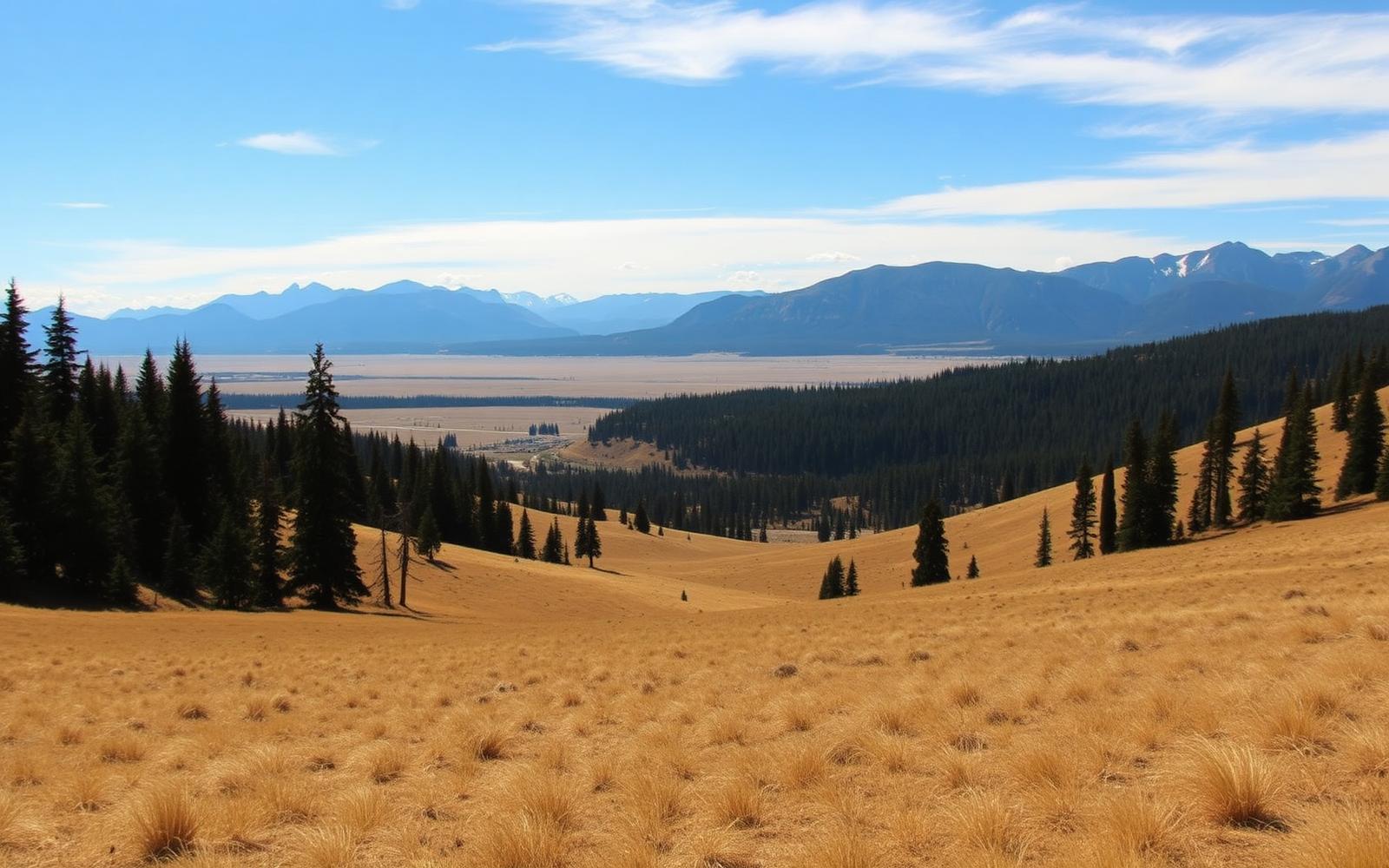
Interior BC high country — open grassland edges, lodgepole pine, and the driest boreal Alone has filmed.
British Columbia, Canada
Where on earth
Satellite imagery flying in from a world view to Chilcotin Plateau, British Columbia, Canada.
- Biome
- Interior plateau / dry sub-boreal
- Elevation
- 900–1,500 m
- Winter lows
- -25 to -40 °C
- Key food
- Trout, grouse, hare, deer
- Big predators
- Wolf, grizzly, cougar
The country
The Chilcotin is high, dry, and open compared to the coastal seasons — lodgepole pine, aspen, and grassland glades with small clear lakes between. Winters are colder than the coast; the trade-off is easier travel, drier fuel, and clearer skies.
Why the show came here
It gave producers a completely different visual and survival profile: less rain-management, more temperature-management. Trapping opportunities (hare, grouse) are stronger in this drier mixed country, and long game sightlines change how participants hunt.
Planner-relevant notes
Dry cold hides real hypothermia risk in wind. Fuel is easier to gather but stands are more remote — plan a fuel radius before you commit to a shelter site. Water sources freeze harder and earlier than they look.
Field notes
- Standing dead pine (kiln-dry) is the single best fuel source here.
- Snares in hare runs pay better than shots on grouse — save your bow calories.
- The wind cuts through anything not fully windproof — a shell layer is non-negotiable.